Topography as a structural design decision in Landscape Architecture
Topography as a starting point for design In many design processes, topography is treated as a given or as a consequence of the architecture and the work. In landscape architecture, this approach is reductive. Topographical definition is a structural decision, with a direct impact on uses, vegetation and the way water moves through the territory.
Christophe Girot's practice and thinking reinforce this idea by seeing the land - and its transformation through groundwork - as the fundamental gesture of the landscape. Ground modelling is not just technical, it is the act that reconfigures the place and establishes the basis of the project.
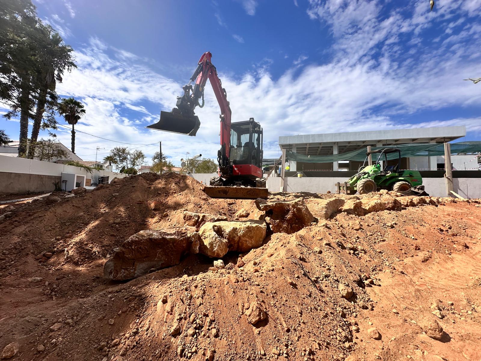
Topography is not just moving earth There is a clear difference between moving earth to make a site feasible and working the land as a project material. In the first case, you're responding to a construction need; in the second, you're building structure, continuity and landscape identity.
In Girot's thinking, groundwork is a transformative operation: by designing the terrain, spatial relationships, hierarchies and the way the place will be perceived and used over time are defined.
The direct impact of topography on the use of space Topography profoundly conditions use. Small variations in elevation define routes, permanence zones, transition areas or shelter spaces. Use is not imposed by added elements, but emerges from the very configuration of the terrain.
A topography designed as part of the project creates legible and intuitive spaces. When this definition is fragile or delayed, use becomes dependent on corrective solutions, often alien to the initial logic of the project.
Topography, water and vegetation: inseparable relationships The shape of the terrain determines how water moves, infiltrates or accumulates, and these dynamics directly influence the behaviour of vegetation. Soil depth, available moisture and stability are direct results of topographic modelling.
This is where Peter Petschek's contribution becomes particularly relevant. His work centres on water management in the territory, understanding topography as the means by which water can be conducted, delayed, stored or infiltrated in a controlled manner.
Rainwater drainage: design the system before the infrastructure Water routes are defined by elevations. When topography is thought of as
system, drainage ceases to be just a technical problem and becomes an integral part of the project.
The approach advocated by Peter Petschek shows that the creation of water management means - ditches, depressions, retention basins or permeable surfaces - depends on a fine reading of the terrain and its modelling.
Irrigation as a complement, not a correction Irrigation should not correct modelling errors. When the topography is clear and coherent, irrigation acts as a complement, reinforcing a water system already structured by the terrain.
Conclusion The terrain is the primary subject of landscape design. The topographic definition structures the space, conditions the use, supports the vegetation and defines the behaviour of the water.